
| |
Developed by: dr. Lidija Globevnik, Andrej Vidmar M.Sc., Matej Padežnik, Andrej Sedej, Prof. dr. Mitja Brilly
SARIB GIS
|
Theme |
Data Sources | |||||||||||
|
PNG JPG |
SHP ZIP |
DWG | DOC | XLS | ZIP | Status | SI | HR | BA | RS | ||
00  |
Raster image |
|
 |
|||||||||
01 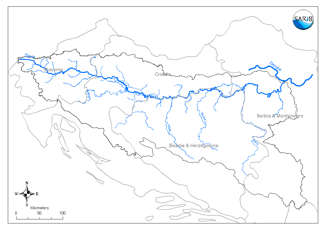 |
Administrative Borders |
|
|
 |
||||||||
02 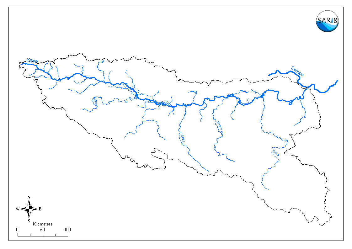 |
Catchment |
|
|
|
||||||||
| 03 |
Rivers |
|
|
|
||||||||
04 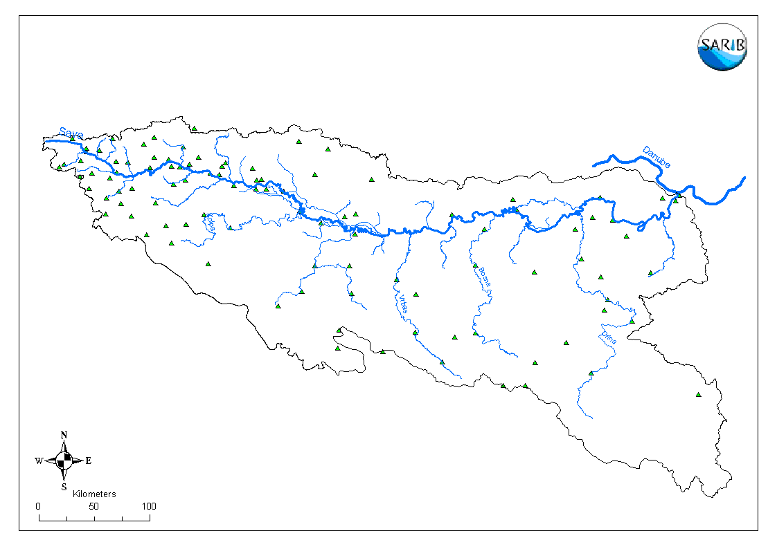 |
Meteorological Stations |
|
|
|
 |
|||||||
05 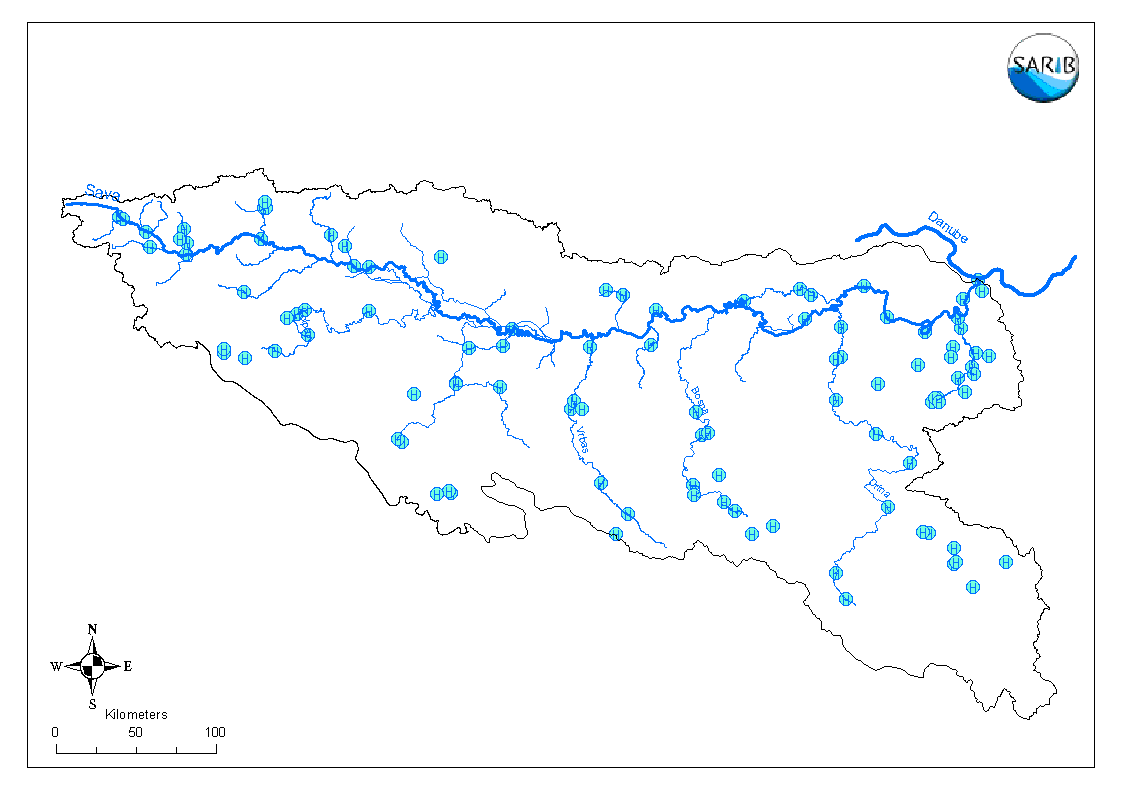 |
Hydrological Stations |
|
|
|
|
|||||||
06 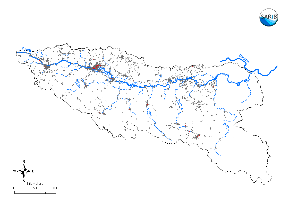 |
Areas with significant point emissions - urban areas |
|
|
|
||||||||
07 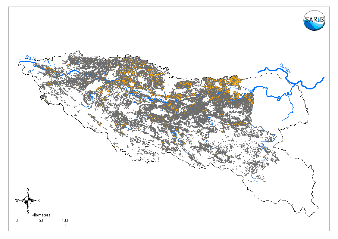 |
Areas with significant diffuse emissions - agriculture areas |
|
|
|
||||||||
08 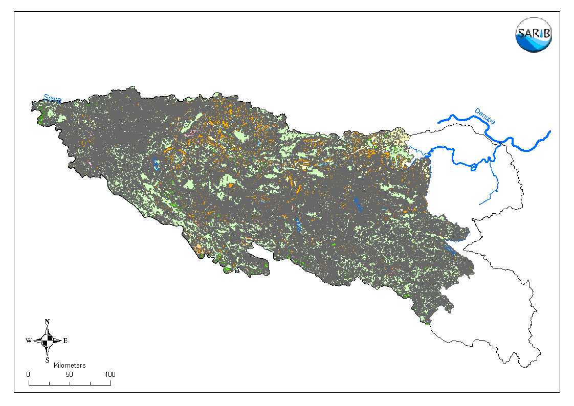 |
Corine 2000 |
|
|
|||||||||
09  |
Geology |
|
|
|||||||||
10  |
Distance from confluence |
|
|
|
||||||||
11 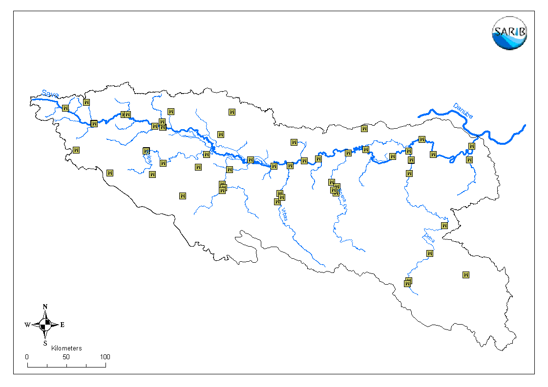 |
Water quality BOD5, Ntot |
|
|
|
||||||||
12 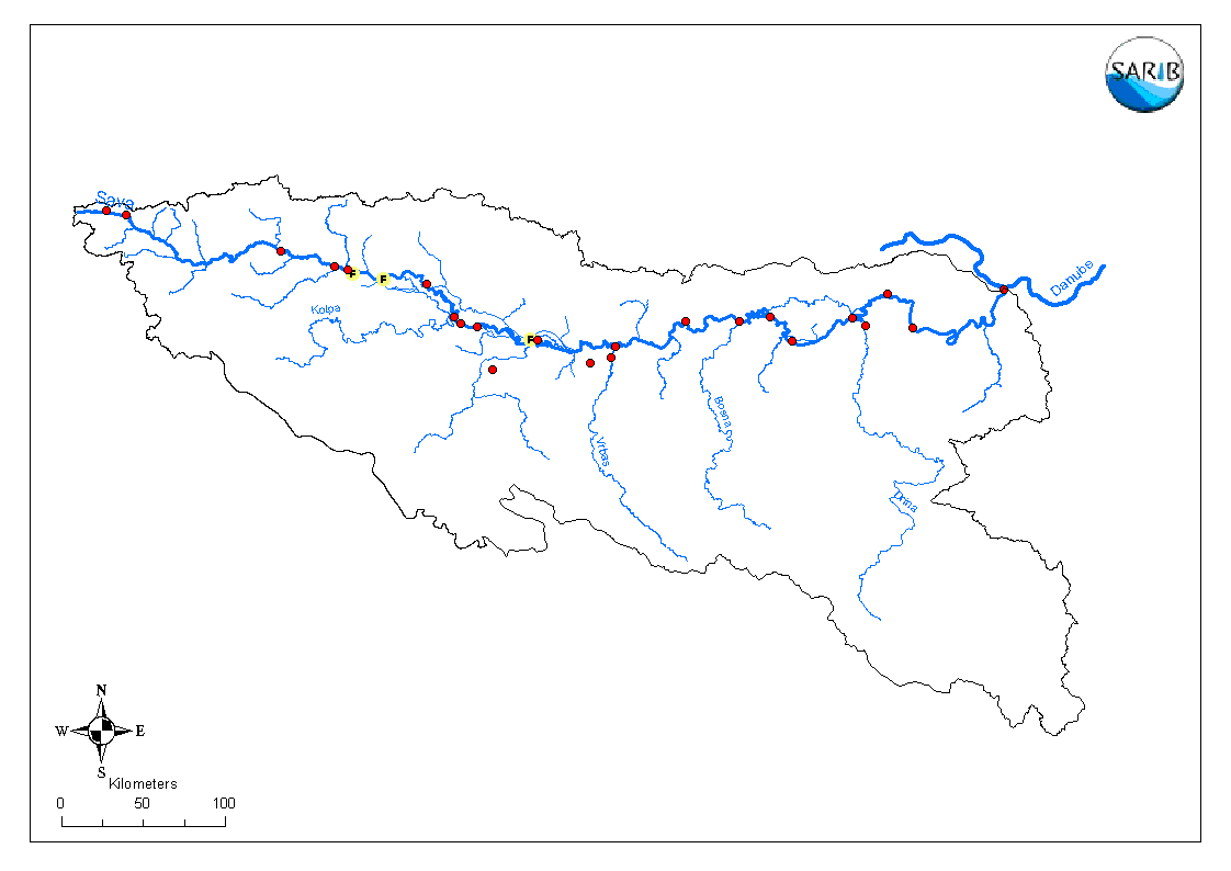 |
SARIB Monitoring Locations |
|
|
|
||||||||
13 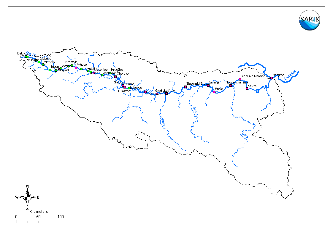 |
Granulometry |
|
|
|
|
|||||||
14  |
Digital Terrain Model - Relief |
|
|
|||||||||
| 15 |
MXD project file |  |
||||||||||
| 16 |
Report | |||||||||||
|
UNIVERSITY OF LJUBLJANA |
 All rights reserved |